Most Challenging Coast : Wairarapa ( Aramoana to Ngawi)
Most Challenging Paddle : Maunganui Bluff to Tapotupotu
Strongest Tidal Stream : Cape Maria van Diemen (13.2km/hr)
Top 7 Paddles
Maunganui Bluff to Tapotupotu (Cape Maria van Diemen; Cape Reinga) 46 km
Sandy Bay to Ngawi (Wairarapa) 35km
North Muriwai to Glinks Gully (Kaipara Coast) 70km
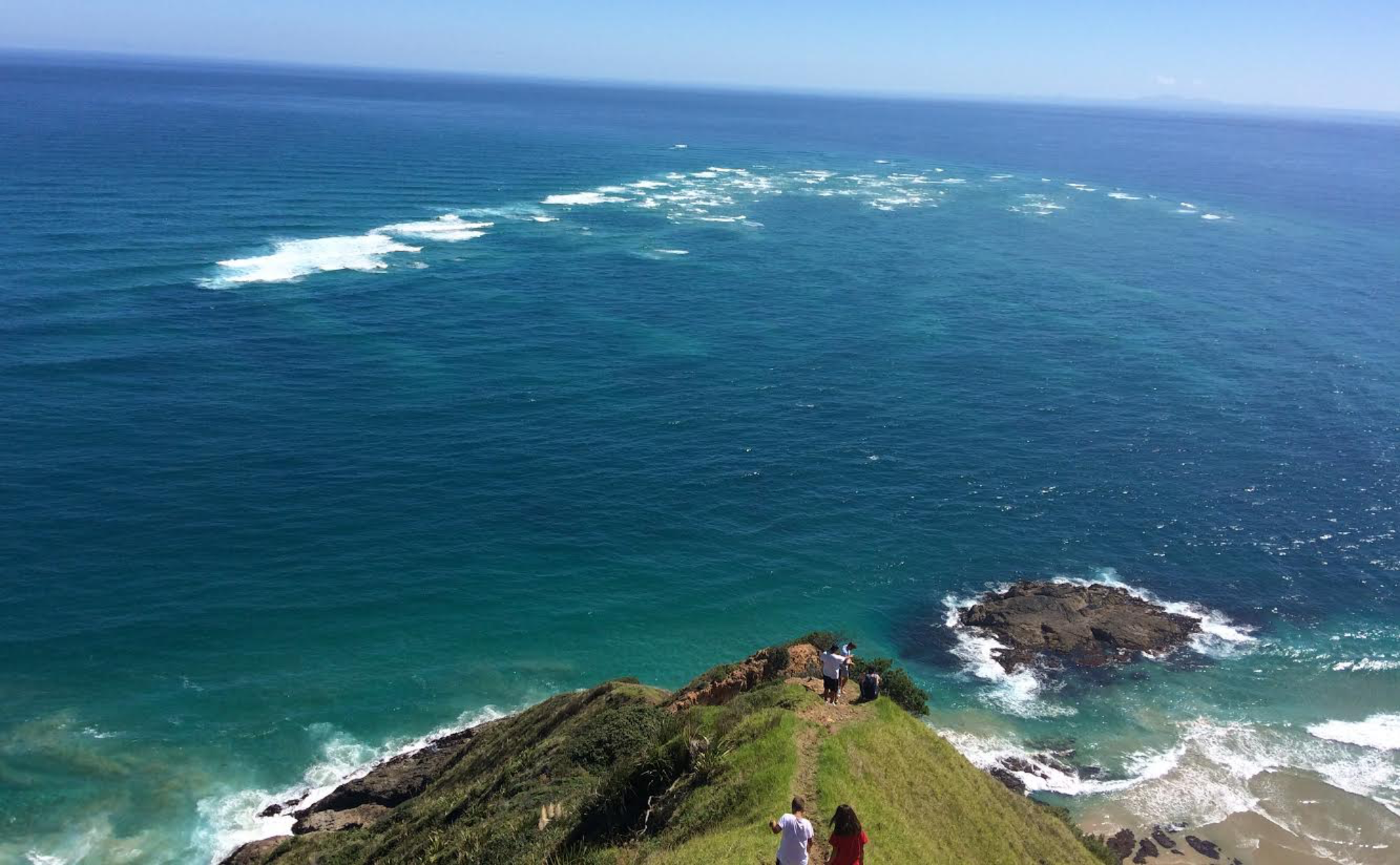
Te Araroa to Whareponga (East Coast) 53km
Waihau Bay to Te Araroa (East Bay of Plenty) 55 km
Mahanga to Ahuriri Bay (Mahia Peninsula) 42 km
Flat Point to Sandy Bay (Wairarapa) 46km
Top 7 Solo Overnight Camps
Tom Bowling Bay, Far North
Tom Bowling Bay camp. Remote, great views, good fishing off the rocks. Perfect.Enjoying the sunset (just before the mossies invaded!!). Spirits Bay around Hooper Point in the distance. Rounding North Cape the next morning.
2. Ahuriri Bay, Mahia Peninsula
On the west side of Ahuriri Point and the start of Hawke Bay. Portland Island in the background. Stunning sunset. Must return!
3. Whareponga Bay, East Coast (between East Cape and Tokomaru Bay)
Whareponga Bay. Spent 3 nights here, weather-bound for 2 of them. Extra tarp proved its worth. Waipiro Bay around the next point. Moutahiauru Island in the distance (top left), two hours paddle away.
4. Port Charles, Coromandel
Beaut sheltered and secluded bay on west side of Port Charles. View through to Motukokopu Island.Tent on a soft bed of thick grass.
5. Rangitira Beach, North Muriwai
Great view high on the dunes. This is my launch spot for the epic crossing of the Mighty Kaipara Harbour.Remote Rangitira Beach 4 hours paddle north of last vehicle access at Rimmers Road, Muriwai Beach
6. Maunganui Bluff, 90 Mile Beach
Tucked in behind the dunes at Maunganui Bluff before the most anticipated paddle of the entire adventure. Rounding Capes MVD and Reinga. The only access here is by 4WD or walking down 90 mile beach (or kayak!).Enjoying the last West Coast sunset over The Bluff before rounding the northern Capes.
7. Mataikona, Wairarapa
Found this sheltered beach tucked in the lee of an offshore reef. Dunes provide tent shelter. Houses at Mataikona in the distance. Castle Rock, 2.5hrs paddle away, can be faintly seen in the distance (end of distant point).
Most Consecutive Solo Overnighters 5 (Te Araroa to Tatapouri)